There may be multiple pages if more than 12 images have been found.
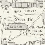
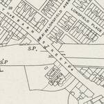
This extract is taken from the1932 25” Ordnance Survey Map. The buildings on the South side of Ball Street were demolished in 1911 to give the layout of Ball Street that still exists today.
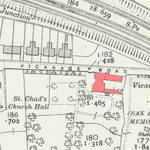
The location of the old vicarage shown on a 1932 Ordnance Survey map.
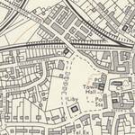
This Ordnance Survey map extract from 1972 is the first to show Queensway connecting through to Blackpool Old Road. Note there is no significant development on either side of the road.
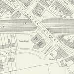
This Ordnance Survey map surveyed in 1960 and published in 1961 shows the start of Queensway. At this stage it just provided access to the new Chester Avenue and Rutland Avenue houses.
This Ordnance Survey map extract from 1937 shows Tithebarn Street well before Queensway was created.
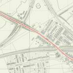
1960 Ordnance Survey map with Tithebarn Street highlighted.
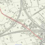
1910 Ordnance Survey map with Tithebarn Street highlighted.
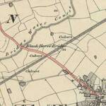
1844 Ordnance Survey map with Tithebarn Street highlighted.
The location of Bourne (Burn) Hall near the Ammonia Soda Works (ICI) on a 1921 Ordance Survey map.
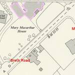
Extract from 1960 Ordnance Survey map showing the location of Mary Macarthur House.