There may be multiple pages if more than 12 images have been found.
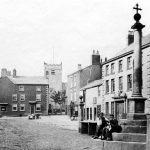
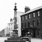
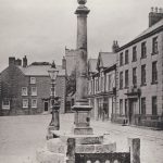
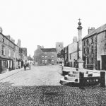
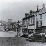
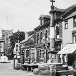
An image of Market Place listed as C1864
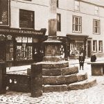
Market Cross looking towards the Post Office when at the junction of Blackpool Old Road and Queens Square.
Some rather grand looking buildings on the East side of Market Place
Early photograph with Market Place as a cobbled street. Properties are both houses & small shops.
An extract from the 1892 25″ Ordnance Survey map.There was then a large house at the North end of Market Place in front of St. Chad’s Church.
The building at the North end of Market Place is called Cyclist’s Rest. Possibly a café or lodging house.
E. Richards store with cycle shop above it, adjoining the shop of R.W Lord, who provided many photographs & postcards of the town between 1901 and 1911.
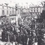
This gathering in Market Place probably took place in the 1920s or 1930s as the large bank building still exist at the North end.
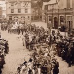
1902 Gala Day procession in Market Place, also celebrating the imminent, but postponed, coronation of Edward VII.
The building in front of St. Chad’s Church is shown on the 1932 Ordnance Survey Map as being a bank branch, probably what became Midland Bank. It was demolished in the late 1930s.
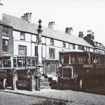
Buses from the days when each bus was crewed by a driver and a conductor. The style of bus would suggest the 1930s.
Market Place as it was in the 1932 OS map. The bank facing South in front of St. Chads Church was demolished later in the 1930s, giving us the clear view of St. Chad’s Church that we now have.