There may be multiple pages if more than 12 images have been found.
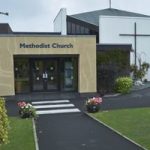
The Methodist Church on Queensway where we hold our meetings.
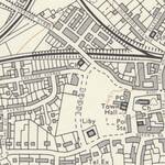
This Ordnance Survey map extract from 1972 is the first to show Queensway connecting through to Blackpool Old Road. Note there is no significant development on either side of the road.
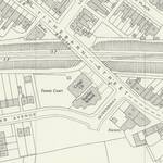
This Ordnance Survey map surveyed in 1960 and published in 1961 shows the start of Queensway. At this stage it just provided access to the new Chester Avenue and Rutland Avenue houses.
In the mid 1960s plans were drawn up for a swimming pool on the newly built Queensway. Apparently not implemented.
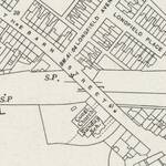
This Ordnance Survey map extract from 1937 shows Tithebarn Street well before Queensway was created.
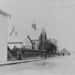
A view along Tithebarn Street towards the Congregational Church before the property to the left was demolished to give access for Queensway.
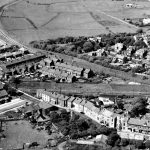
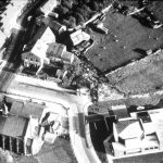
Another aerial view of the start of Queensway in front of the Congregational Church and Sunday School on the left.
The new housing development on Queensway c1970s.
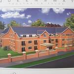
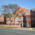
A more recent view of the development of Queensway.
An aerial view of the first part of Queensway in c1965. The houses facing towards Queensway were 13 & 15 Tithebarn Street; also known as Chatsworth House. The Congregational Church and Sunday School are in the lower left and the new Queensway Methodist Church in the lower right.
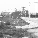
The construction of Queensway at the end of Chester Avenue looking towards the Blackpool North Railway line.
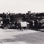
The construction of Queensway in the mid 1960s with St Chads Church in the background.