There may be multiple pages if more than 12 images have been found.
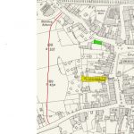
Extract of 1932 OS Map:
Burlington Avenue (shaded yellow) was demolished to form part of the original Teanlowe Centre. It now forms the bulk of the current shopping arcade.
The tithe barn (shaded green) stood where the Northern edge of Booths car park now stands.
The red line shows the approximate route of Queensway, completed in the early 1960s.
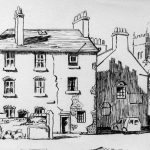
A romantic sketch of Burlington Avenue that was demolished in the early 1970s to form the Church Street entrance to the Teanlowe Centre.
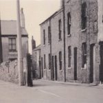
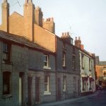
A more realistic view of what Burlington Avenue looked like. The Avenue used to occupy the area still covered by the indoor shopping arcade.
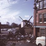
Demolition of Burlington Avenue in the early 1970s to make way for the Church Street entrance to the Teanlowe Centre.
The houses at the left-hand side of this image stood on Blackpool Old Road where Booths delivery yard now stands.
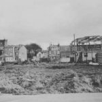
Blackpool Old Road after it has been cleared to build one of the three entrances to the original Teanlowe Centre.
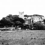
The allotments that are now covered by the Teanlowe Centre viewed from what is now Queensway.
Construction of Queensway in C1960. An early prelude to opening the town centre for future development.
A view from Queensway in the early 1970s as construction of the original Teanlowe Centre was started.
A large part of the original centre was demolished to accommodate the new Booths store which opened in late 2015.
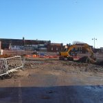
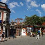
The rebuilding of the Church Street entrance in 2015.
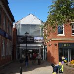
The new Church Street entrance to the Centre after the rebuild.