
Maps Gallery

The Blackpool Times railway disaster leaflet. Plan of accident site. 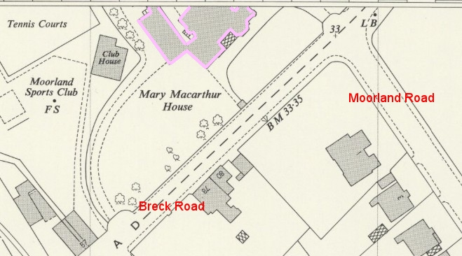
Extract from 1960 Ordnance Survey map showing the location of Mary Macarthur House. 
1960 Ordnance Survey map with Tithebarn Street highlighted. 
The location of Bourne (Burn) Hall near the Ammonia Soda Works (ICI) on a 1921 Ordance Survey map. 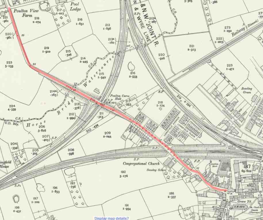
1910 Ordnance Survey map with Tithebarn Street highlighted. 
1844 Ordnance Survey map with Tithebarn Street highlighted. 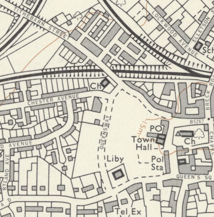
This Ordnance Survey map extract from 1972 is the first to show Queensway connecting through to Blackpool Old Road. Note there is no significant development on either side of the road. 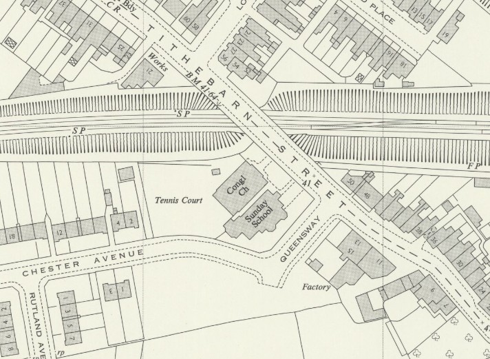
This Ordnance Survey map surveyed in 1960 and published in 1961 shows the start of Queensway. At this stage it just provided access to the new Chester Avenue and Rutland Avenue houses. 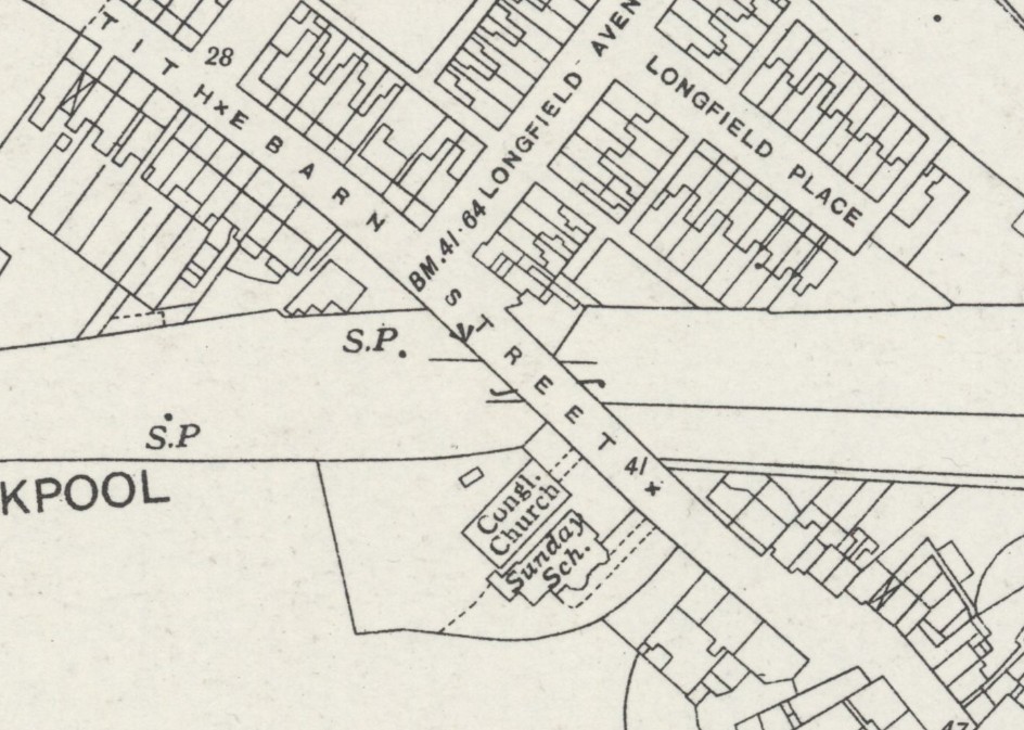
This Ordnance Survey map extract from 1937 shows Tithebarn Street well before Queensway was created. 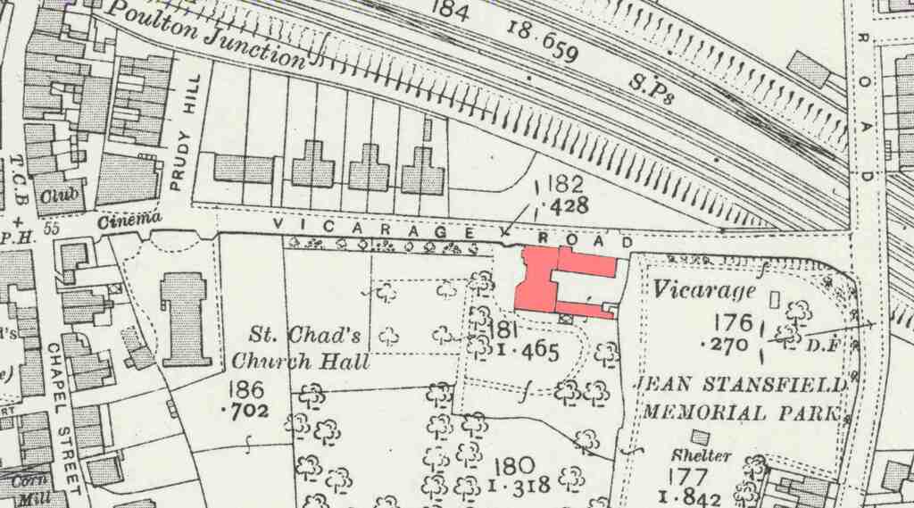
The location of the old vicarage shown on a 1932 Ordnance Survey map. 
The replacement station opened in 1896 at the current location. The original station acted as a goods yard for many decades. 
The original station was opened in 1840 serving Preston to Fleetwood travellers. The Blackpool branch opened in 1846. 
This extract is taken from the1932 25” Ordnance Survey Map. The buildings on the South side of Ball Street were demolished in 1911 to give the layout of Ball Street that still exists today. 
This extract is taken from the 1892 25” Ordnance Survey Map. Note the numerous buildings on the South side of Ball Street, backing onto the graveyard. 
Extract of 1932 OS Map: Burlington Avenue (shaded yellow) was demolished to form part of the original Teanlowe Centre. It now forms the bulk of the current shopping arcade. The tithe barn (shaded green) stood where the Northern edge of Booths car park now stands. The red line shows the approximate route of Queensway, completed in the early 1960s. 
An extract of Queen’s Square from the 1932 25″ Ordnance Survey. The War Memorial for the First World War is shown. 
An extract of Queen’s Square from the 1892 25″ Ordnance Survey. 
An extract from the 25″ Ordnance Survey map of Chapel Street published in 1932. 
An extract from the 1892 25″ Ordnance Survey map. For just a few years Chapel Street was named Bank Street, after its former Savings Bank on the corner with Vicarage Road. 
This 1932 map shows the more familiar layout of Church Street with no buildings in front of the Church. The street would still have 2-way motor traffic at this date. 
An extract from the 1892 25″ series Ordnance Survey map. Note the buildings on the East side of Church Street in front of St. Chad’s Church. 
Market Place as it was in the 1932 OS map. The bank facing South in front of St. Chads Church was demolished later in the 1930s, giving us the clear view of St. Chad’s Church that we now have. 
An extract from the 1892 25″ Ordnance Survey map.There was then a large house at the North end of Market Place in front of St. Chad’s Church. 
The extent of the Joseph Cross convalescent home as shown on the 25″ Ordnance Survey map published in 1932. 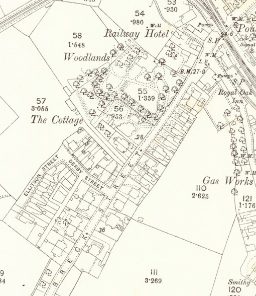
Woodlands shown on the 25″ Ordnance Survey map published in 1892.
