
Ball Street Gallery

Ball Street looking East with the Golden Ball pub to the left. 
A view looking West along Ball Street. The buildings on the left backed onto the Graveyard and were demolished by 1911. 
A recent view of Ball Street. 
The demolition of Charnleys Garage to make way for the first Poulton Booths Grocers store. 
Ball Street with Charnleys Central Garage. 
A postcard of Ball Street dating from the 1960s. 
Looking West along Ball street. 
The demolition of Ball Street South side in 1911. In the days before Health & Safety at Work. 
A procession through Ball Street soon after it was widened. 
This extract is taken from the1932 25” Ordnance Survey Map. The buildings on the South side of Ball Street were demolished in 1911 to give the layout of Ball Street that still exists today. 
A postcard view of Ball Street from the 1950s. 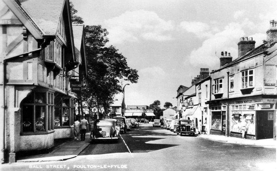
A postcard view of Ball Street from the 1960s. 
Another view of the original Ball Street. 
The buildings on the South side of Ball Street with the corner of Church Street to the right. 
Looking East along Ball Street prior to 1911. The building with the arched windows was operated by James Parke Dobson; Wheelwright and Funerals Furnisher. 
A photograph of Ball Street annotated with the width (or lack of it) prior to 1911. 
This extract is taken from the 1892 25” Ordnance Survey Map. Note the numerous buildings on the South side of Ball Street, backing onto the graveyard. 
The original Poulton branch of Booths Grocers. Later replaced by Cardfactory. 
Central Garage on Ball Street; later replaced by the Booths Grocers.
